Animations
TARKKA-service provides examples of animations generated using satellite observatinos. You can find them from the view menu on the left side. There are examples of animations showing interesting phenomena, that show a series of images within a short period of time or during the year. The animations open up on the map activating the animation level, after which the location of each animation is shown on the map as a triangle symbol. Clicking on the symbol opens a list of animations related to that location.

TARKKA-service animations on the map.
Examples
Variations in surface temperature during the year (2017-2019), for example the year 2019.
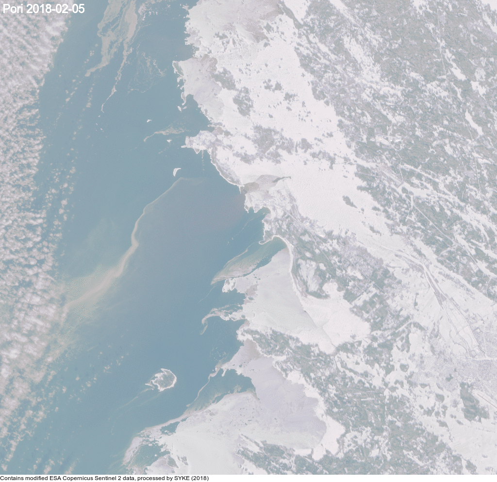
Variations in the ice area and turbidity in front of the Kokemäenjoki River (2018).
Changes in the Hiidenvesi-Enäjärvi area from the beginning of the (year 2018)
Calculation results of the data fusion model from the sea areas surrounding the city of Helsinki and Pyhäjärvi in Säkylä.
The animations will be supplemented more and EO support will be happy to receive new wishes on animation topics: EOtuki (at) syke.fi